Based on above reasons, the Prime Minister has just issued Decision No. 257/2016/QD-TTg for approving Flood and Dike control planning on the Red and Thai Binh rivers system, replacing Decision No. 92/2007 / QD-TTg dated on June 21st 2007. This is the basis to implement safety measures for flood prevention and control for the Red and Thai Binh rivers system. According to the planning, there are more than 2,000 households in the residential area beyond the river banks in Hanoi and Phu Tho to be relocated.
Sông Hồng đoạn chảy qua địa bàn TP Hà Nội (Ảnh minh họa)
|
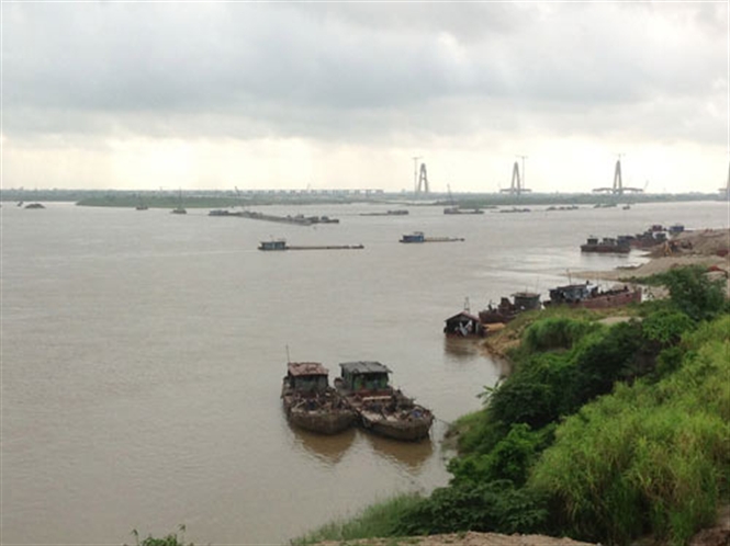
Sông Hồng đoạn chảy qua địa bàn TP Hà Nội (Ảnh minh họa)
The part of the Red river that runs through Hanoi