The North and Central Central regions need to pay special attention to the heavy rain on a large scale.
According to the forecast of the National Center for Hydro-Meteorological Forecasting (General Department of Meteorology and Hydrology), it is likely that on the night of September 8, Typhoon Con Son (international name Conson) will enter the East Sea, becoming the storm No. 5, likely to be the strongest when reaching the Hoang Sa archipelago; forecast can reach level 11, jerk level 13.
Mr. Hoang Phuc Lam, Deputy Director of the National Center for Hydro-Meteorological Forecasting, shared with the press about the storm's evolution when entering the East Sea and plans to avoid.
The impact of the storm is very unpredictable
- Could you tell us about the progress of Con Son storm up to now?
Mr. Hoang Phuc Lam: At 8:00 a.m. on September 8, Typhoon Con Son was right over the central Philippines with a magnitude of 8-9. In addition, there is another storm with international name Chanthu, intensity level 13-14, about 1,100km east of Con Son storm.
The latest forecast calculations of Vietnam and the world show that the trajectory and intensity of Con Son storm will still be very complicated, predicting the intensity and trajectory of Con Son storm after passing through the Philippines. much changed.
- So in your opinion, in the coming hours, how will Con Son storm change?
Mr. Hoang Phuc Lam: Most likely, storm Con Son after weakening when passing through the Philippines and entering the East Sea will be reorganized, gradually strengthen and move mainly in the northwest direction with a speed of about 15- 15. 20km/hr.
Storm Con Son is likely to be strongest when it reaches the Hoang Sa archipelago, it is forecasted to reach level 11, level 13. Another possibility is that Con Son storm weakens and moves towards China. There are also forecasts that the storm is likely to move south...
Thus, at the present time, forecasts for this storm are very scattered, the main reason is that the storm is on the island and mainland of the Philippines. Interactions with the mainland, island clusters and even storm Chanthu outside make Con Son storm very unpredictable.
There is a possibility of heavy rain over a large area
- Can you share more specifically about the risks that this storm may cause so that localities and people can pay attention and take proactive precautions?
Mr. Hoang Phuc Lam: Most likely on the night of September 8, after passing through the Philippines, Typhoon Con Son will enter the East Sea and become the number 5 storm in 2021.
Storm Con Son has a direction of movement mainly in the northwest, with an average speed of 20km, directly affecting, causing big waves and high winds for the Hoang Sa archipelago on September 10.
The intensity of Con Son storm will reach its strongest level around level 11 when it passes through the waters of the Paracel Islands and before approaching Hainan Island (China) and then gradually weakens.
Therefore, the biggest risks and impacts of Typhoon Con Son will be very strong winds over the entire North Sea of the East Sea during the days of September 9-11. Among them, the area of the Hoang Sa archipelago had strong winds of level 11 on September 10; All ships operating in this area should be kept safe.
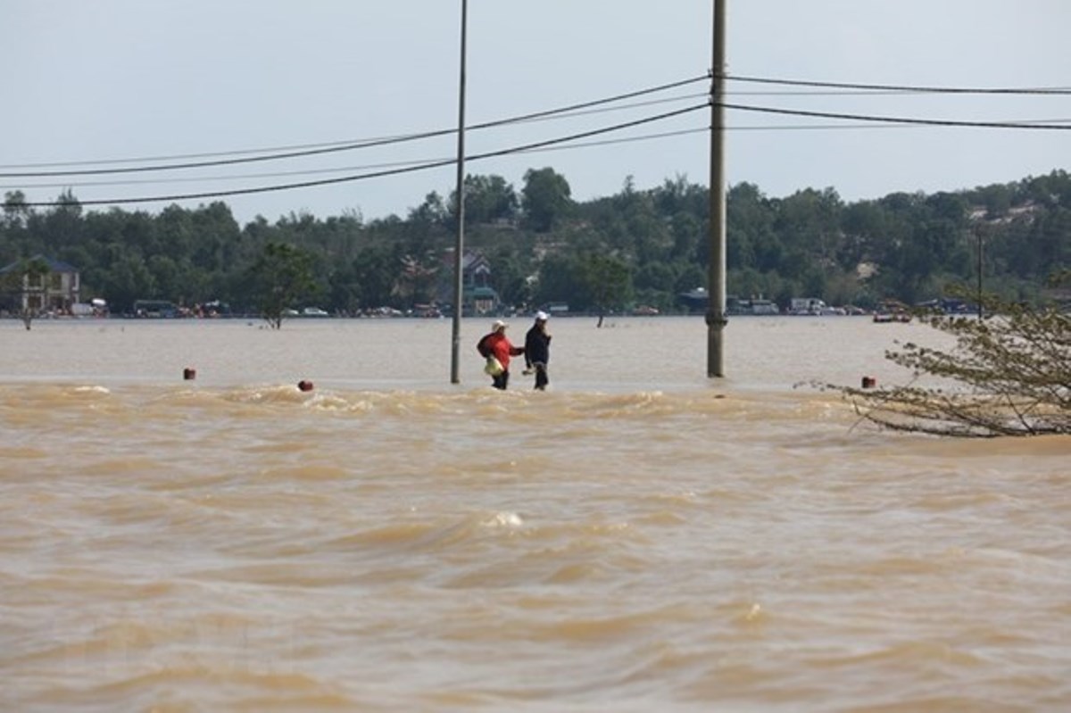
As for the mainland, currently not affected by Con Son storm, but the North and Central Central regions need to pay close attention to the heavy rain on a large scale that is taking place and will last until the end of September 9. ; then the rain decreases and may increase again from Sunday, 12/9.
Risk of flash floods and landslides in Central and South Central region
- In the coming time (specifically from now until the end of 2021), in your opinion, how will the storm situation continue?
Mr. Hoang Phuc Lam: From the beginning of the year to the end of August 2021, there were 4 storms and 2 tropical depressions in the East Sea. Currently, we are preparing for storm No. 5. Among them, typhoon No. 2, storm No. 3 and tropical depression in July have directly affected the North and North Central regions.
After the storm No. 5, we forecast that from now until the end of 2021, in the East Sea area, there are likely to appear about 6-8 storms and tropical depressions; in which there are about 2-4 storms that directly affect the mainland of our country.
Regarding the rain and flood events, we forecast that the focus will be in the period of October-November and the first half of December 2021. During this period, it is forecasted that prolonged, heavy rain will occur in the central region; The risk of floods, flash floods and landslides is high, focusing on Central and South Central provinces./.