Trung tâm phòng tránh và giảm nhẹ thiên tai

Disaster Management Policyand Technology Center

Giao diện dễ tiếp cận vietnam english
Log in

Management - Cooperation - Work together

  • Homepage
  • About
    • About DMC
    • Organization Structure
    • Function & Tasks
    • Development stratery
  • News
    • National and International News
    • DMPTC News
  • Information Center
    • Disaster infomation
    • Basic knowledge
    • Library
      • Legal documents
      • Reference documents
      • IEC documents
      • CBDRM documents
        • Legal documents
        • Reference documents
        • IEC documents
    • CBDRM (Program 1002)
      • Project Matrix
      • Technical Assistance Network
      • CBDRM documents
        • Legal documents
        • Reference documents
        • IEC documents
      • Monitoring and Evaluation (M&E)
      • CBDRA
        • Disaster risks maps
        • CBDRA Reports
        • Other maps
      • Disaster prevention plans
    • Disaster risk maps
    • Irrigation systems
    • Trainings and Workshops
    • Gallery
  • Partners
  • Projects
  • DMC-Mail
  1. News
  2. Details
  • Share this on Facebook
  • Share this on Twitter
  • Share this on GooglePlus

The 'traffic traps' on the central road of Can Tho after the high tide

16:30:57, 16/11/2022


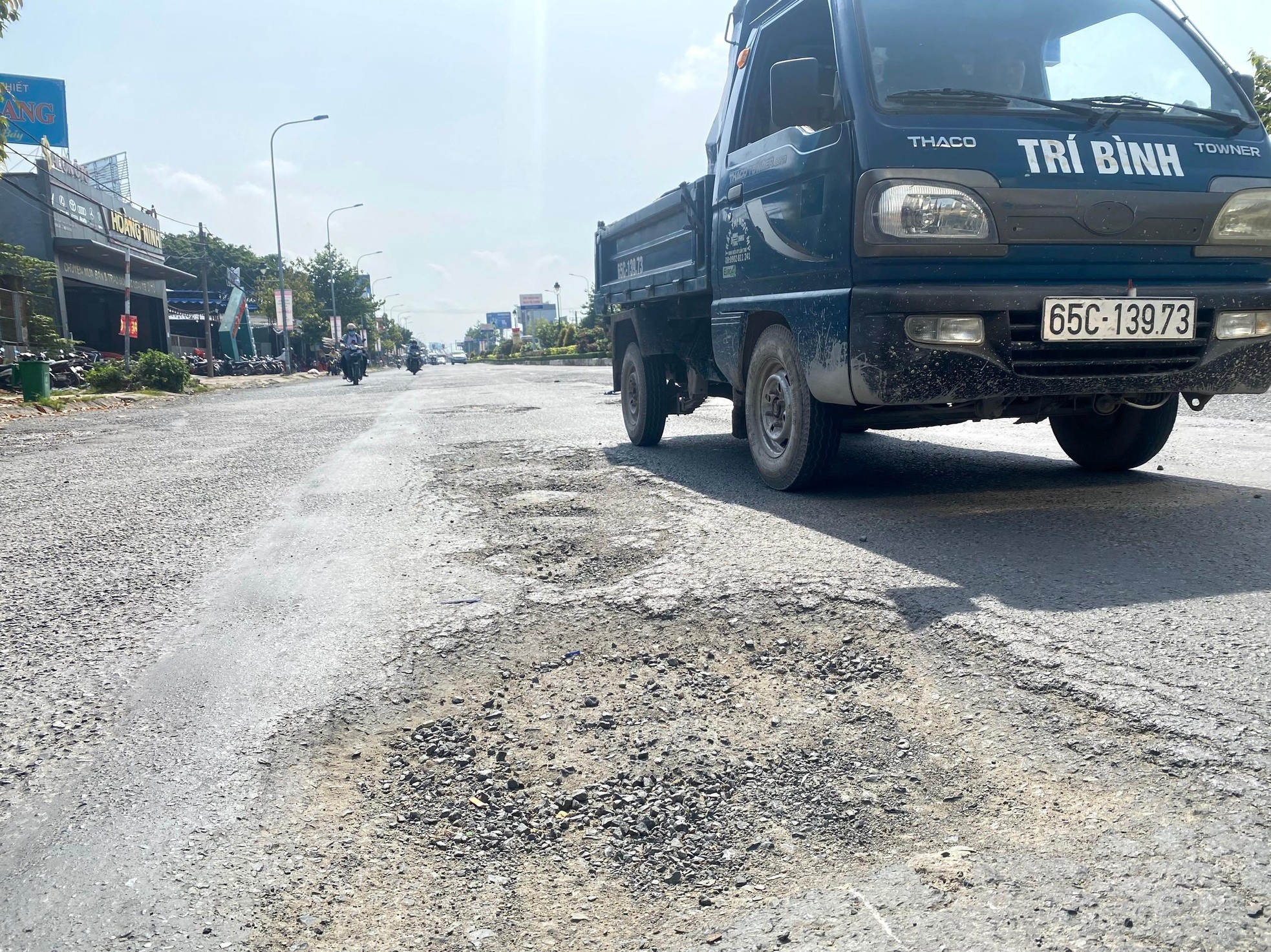
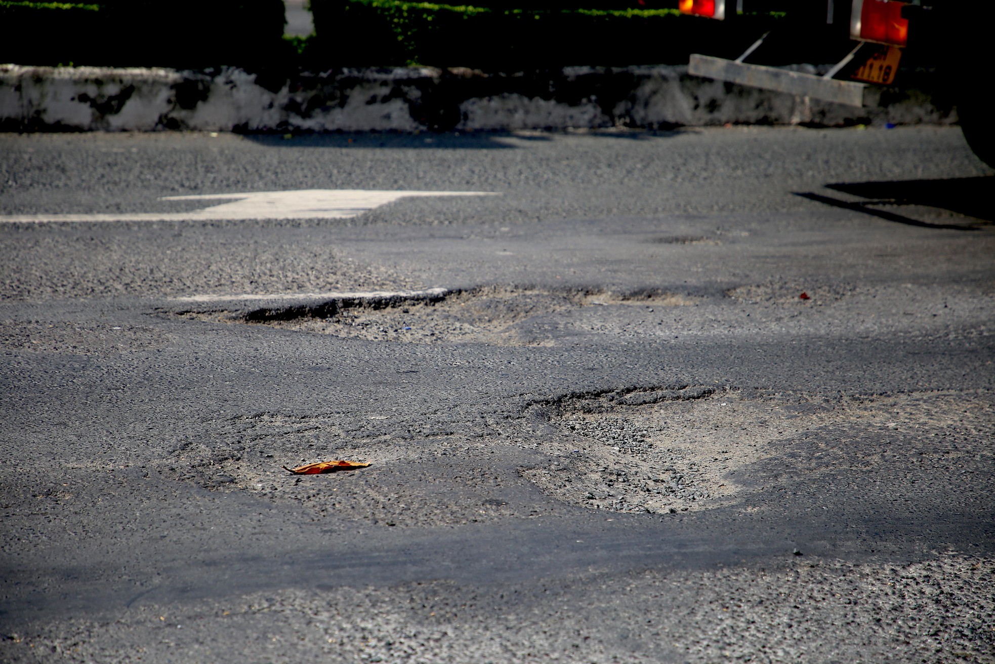
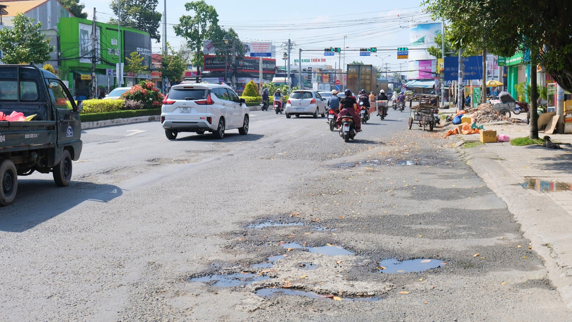
As noted by the reporter, some roads such as Nguyen Van Linh, Vo Van Kiet, Cach Mang Thang Tam, Hoang Quoc Viet ... were degraded and damaged.


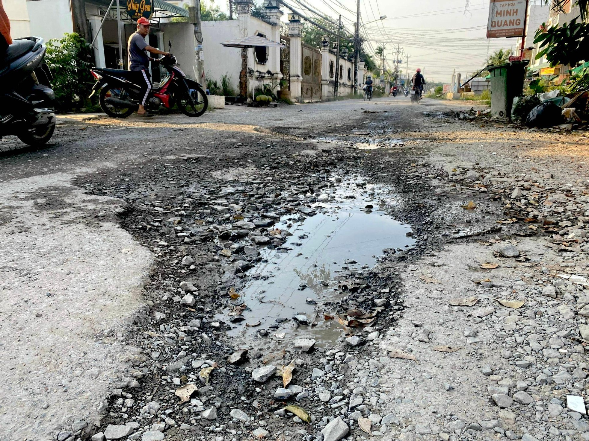
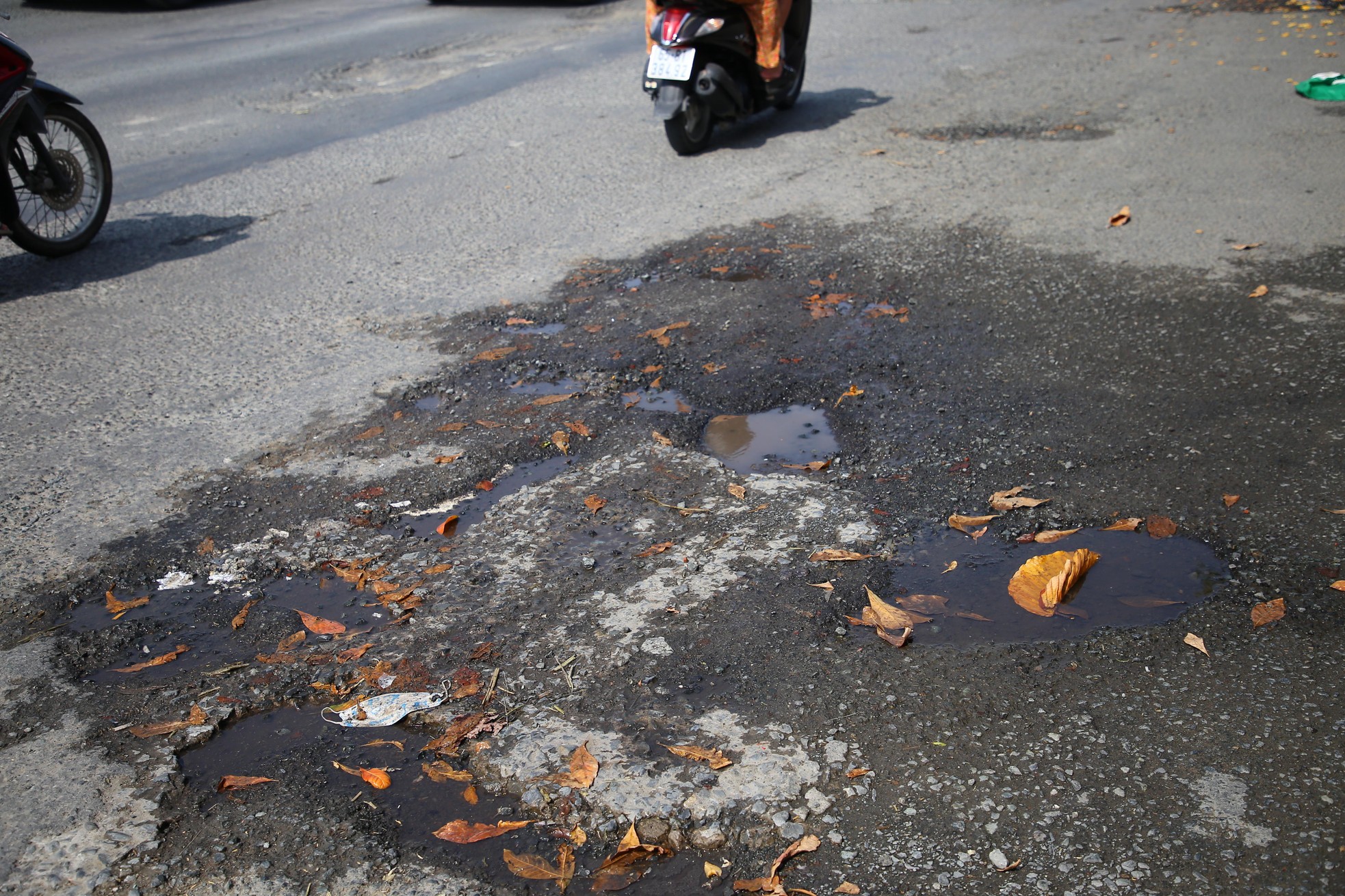
Hoang Quoc Viet road surface, Ninh Kieu district is peeling off, causing danger to traffic participants.


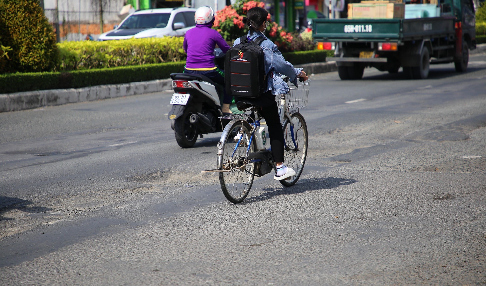
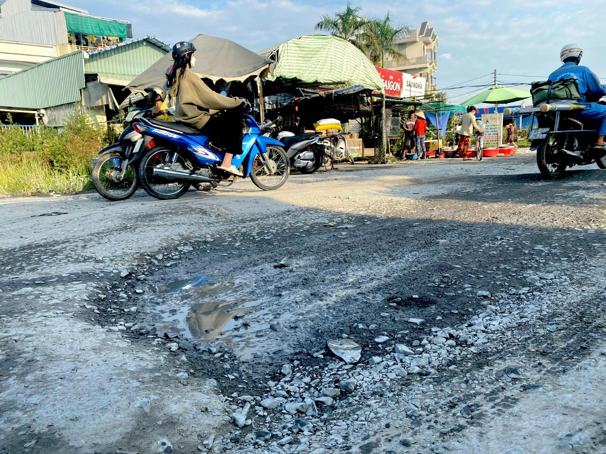
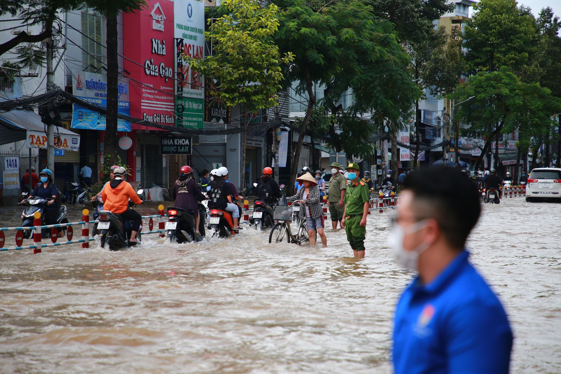
Ms. Le Thi Hong - a resident on Nguyen Van Linh Street, Ninh Kieu District, said that the recent high tide has affected people's travel. Worth mentioning, after the high tide, the road surface is stagnant with water, crammed with 'potholes'. The local government should have a plan to overcome and handle this situation.


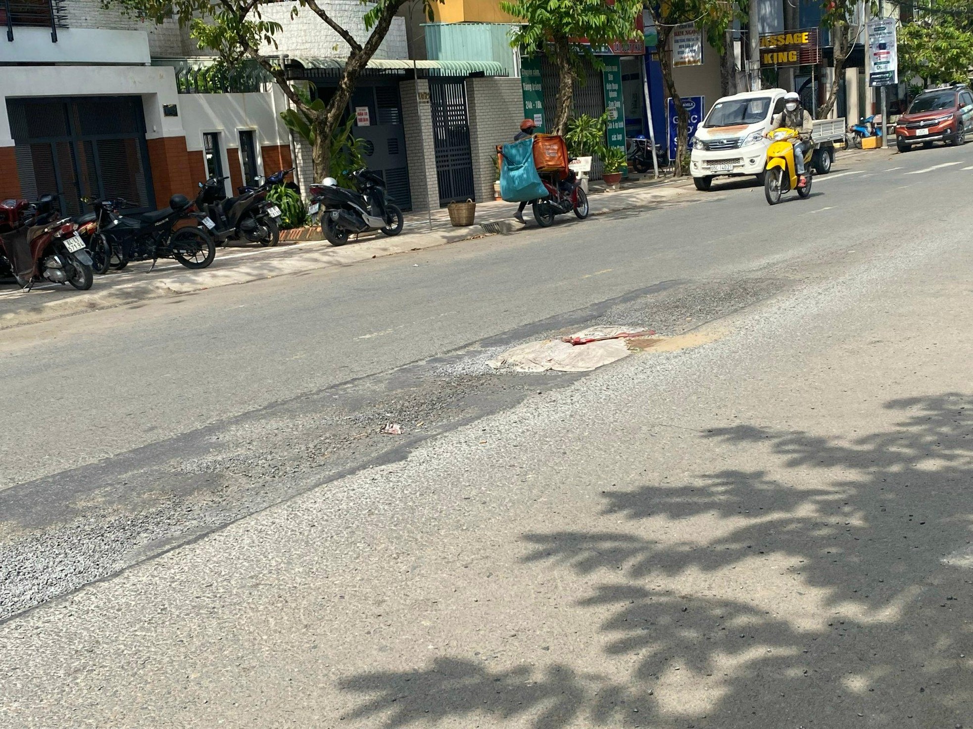
Nguyen Van Linh street, intersecting with 3/2 street is degraded.


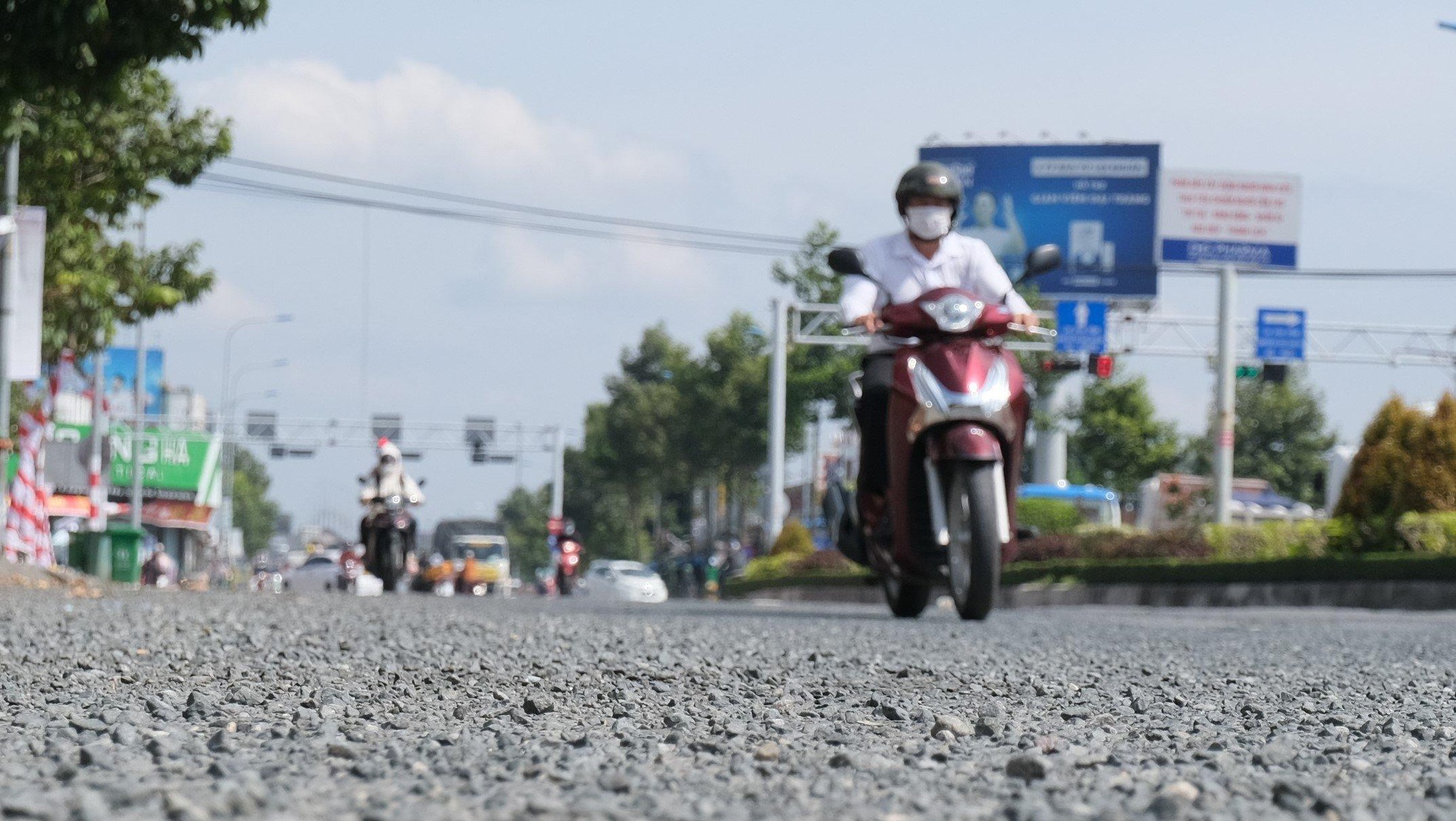
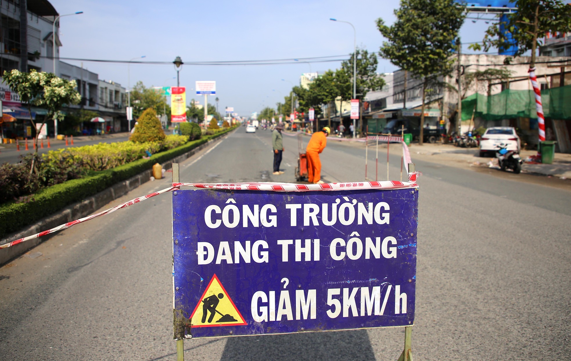
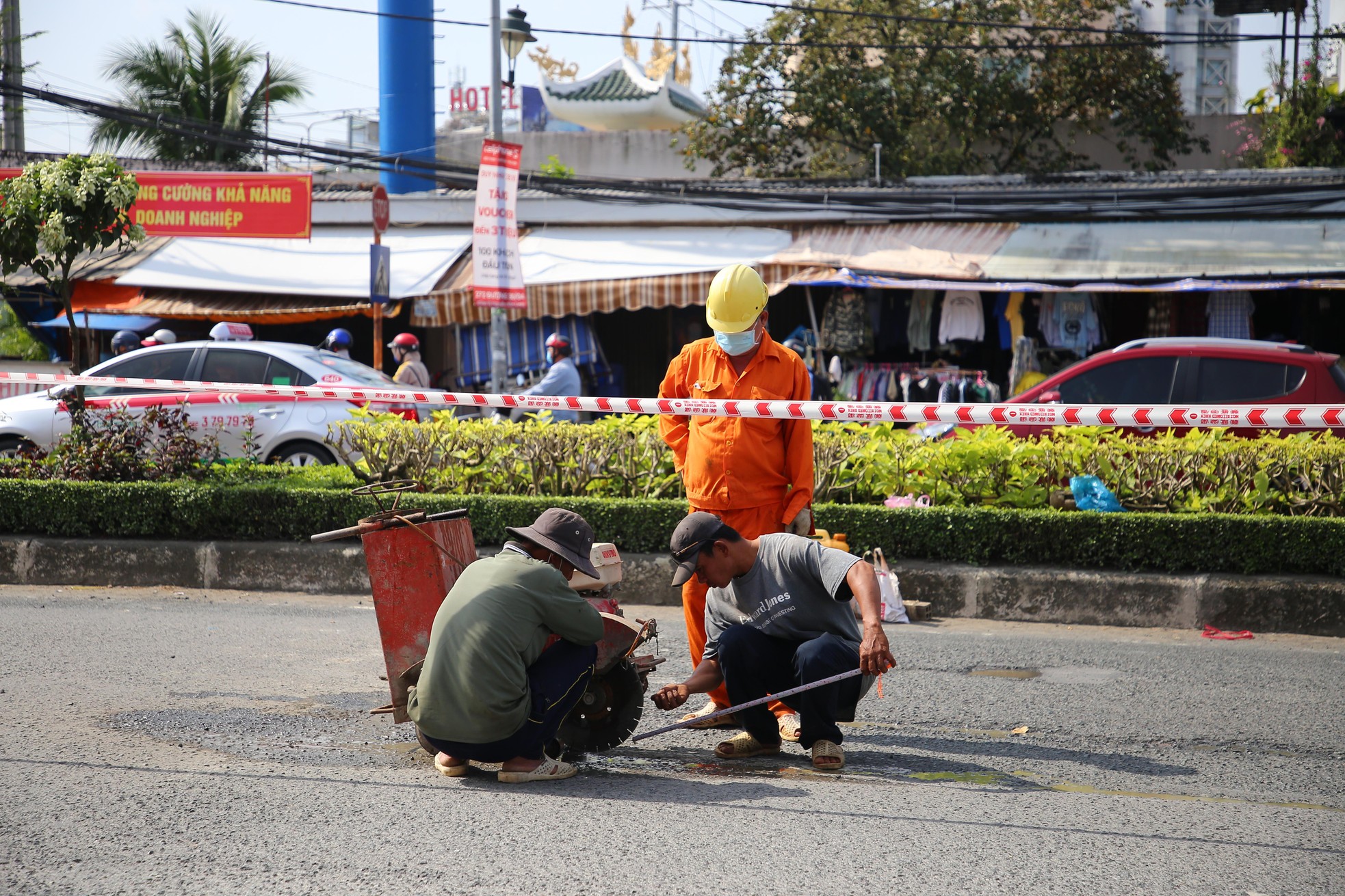
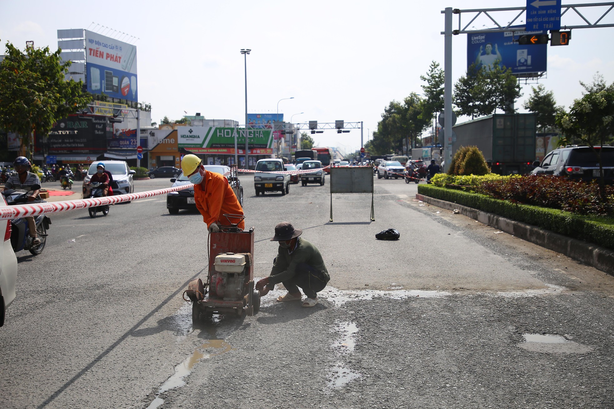
Currently, the Department of Transport has written requests to localities and agencies managing national highways (in Can Tho City) to immediately remedy the damage after the recent storm surge.


Read more

  • Consolidation of Circular No. 13/2021/TT-BNNPTNT on Natural Disaster Prevention and Control Requirements
  • Advancing New Technologies in Natural Disaster Forecasting and Early Warning
  • Da Nang’s Civil Defense Mobilizes Combined Strength in Disaster Response
  • Death Toll in Ethiopia Landslides Rises to 125
  • Synchronizing Solutions for Flood and Landslide Control, Disaster Mitigation, and Early Warning Systems
  • Ho Chi Minh City: Criteria for ensuring natural disaster prevention and control in the use of construction works and housing
  • Northern Vietnam to see rain end from March 17 as sunny weather returns
  • Quang Tri: Addressing Coastal Embankment Erosion Near Vinh Moc Tunnels
  • Dyke Safety Prioritized from the Start of the Year
  • Science and Technology Must Be the "Lever" for the Water Sector’s Transformation


  • Vietnam Natural Disaster Monitoring System (VNDMS)

  • Community-Based Disaster Risk Management Database (Project 553)

  • Socio-economic database

  • Riverbank landslides, coastal erosion database

  • Spatial for disaster management database

  • Library Disaster Management Policy and and Technology Center

  • Damage database

  • Satellite database

  • Science and Technology Database

  • Online Knowledge Dissemination Software for Disaster Prevention

  • Digital transformation portal in disaster management

  • Camera Management and Monitoring Software

Weather forecast

Copyright © 2015 - Trung tâm Chính sách và Kỹ thuật phòng, chống thiên tai

Address: Số 54 ngõ 102 Trường Chinh - Kim Liên - Hà Nội

Phone: +84-436291511 - Fax: +84-437336647

Email: trungtamcsktpctt@gmail.com - Website: www.dmptc.gov.vn

Online users: 1145

Visistors: 94150